The thing with Google Maps is… it thinks you’re driving a monster truck. Countless times Google Maps has directed me to take my front-wheel-drive sedan down single-lane mud roads with potholes the size of small vernal ponds.
Think I’m joking? Look at this big chungus:
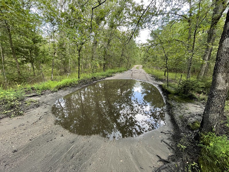
Sometimes these navigational mulligans lead to an interesting find, like the Atsion furnace. After backing my feeble vehicular contrivance out of the mud and craters death trap road, I took the next lane over. That turned out to be a dead-end — the “Mullica River Canoe Launch” — there was a small dirt parking lot for kayakers and the cola-colored Mullica river. The water in the Pine Barrens is really cola-colored: pitch black at its deepest parts and translucent brown at its edges. I’ve heard the color comes from tannins from pines and/or the bacteria that create bog iron.
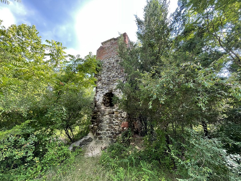
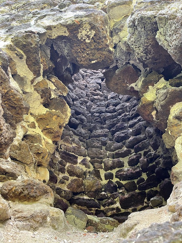
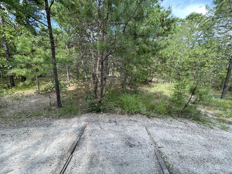
As I turned around I noticed a tall (maybe 15′) stone structure resembling a furnace or kiln. I parked the car and investigated. At the base of the structure were layers of charcoal and a scattering of bog ore. Oyster shells — used as a flux for making iron — were also present. I took some photos and walked the nearby grounds, finding the ruins and foundations of many small buildings, and remnants of the New Jersey Southern Railroad.
Atsion Furnace:
Remnants of the New Jersey Southern Railroad:
Intrigued, I researched the area and it turned out the structure is called the Atsion furnace. I bought a book on eBay called Atsion: a Town of Four Faces by Sarah W.R. Ewing. According to her book, Atsion has had a long history of industrious investors and entrepreneurs, starting in the 1700s. Atsion has been home to industries as diverse as iron refining, iron casting, charcoal manufacture, lumber cutting, paper milling, ice harvesting, and farming cranberries, blueberries, and other fruits & vegetables. I think the only enduring industry has been farming.
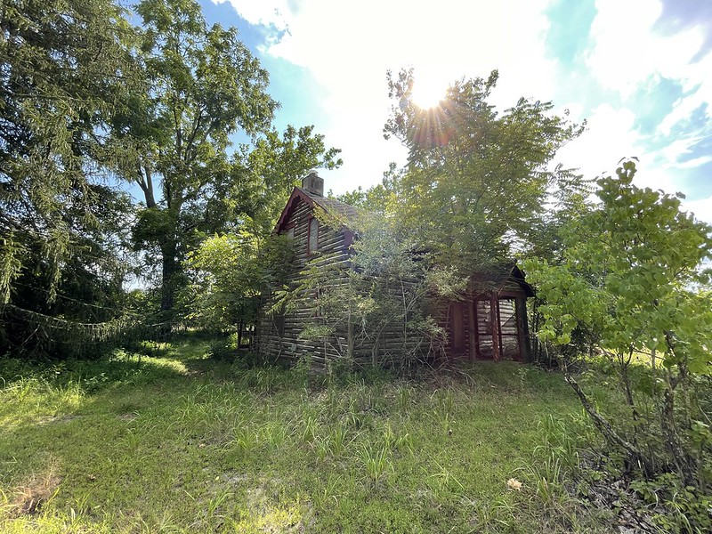
Dilapidated house:
Kayakers, history buffs, and urban explorers will enjoy this location.
More Pine Barren stories: